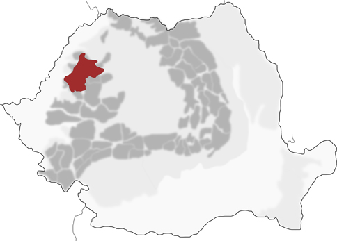
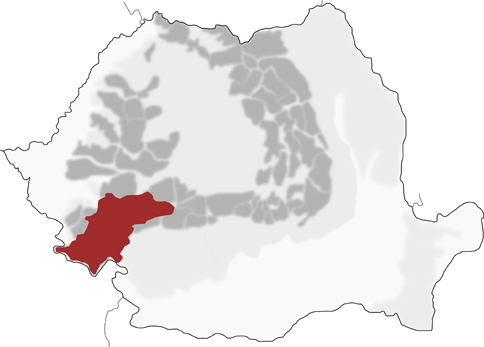
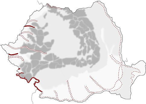
Native species
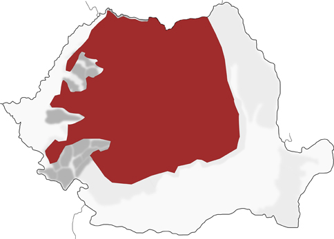
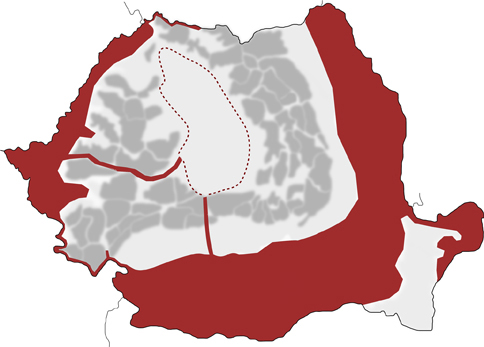
Non-native species
Global maps reference
Ion MC et al. (2024) World of Crayfish®: A web platform towards real-time global mapping of freshwater crayfish and their pathogens. PeerJ 12: e18229.
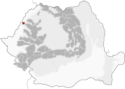
Romania and interactive global maps of crayfish species.
Ion MC et al. (2024) World of Crayfish®: A web platform towards real-time global mapping of freshwater crayfish and their pathogens. PeerJ 12: e18229.